Poringland and Stoke Holy Cross
Walk Information
Starting Point: Poringland Community Centre rear car park, Overtons Way, Poringland, NR14 7WB.
Grid Reference: OS Map 237 TG26560221
Walk Length: 4.4 Miles / 7.2 Km
Directions
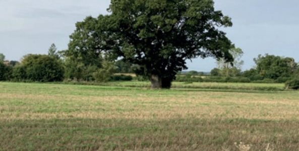
01. From the community centre rear car park go through a gap in the western end into a play park. After the first mound on the left, cross the park diagonally to the metal gazebo, walk past it, cross the road and turn left onto Victory Drive. Look for a gap in the fence/hedge on the right. Go through the gap and take the path to the left through the woods with the pond on your right – now hidden behind trees. Ignoring any turns to the left or right continue along the main path until you reach the car park.
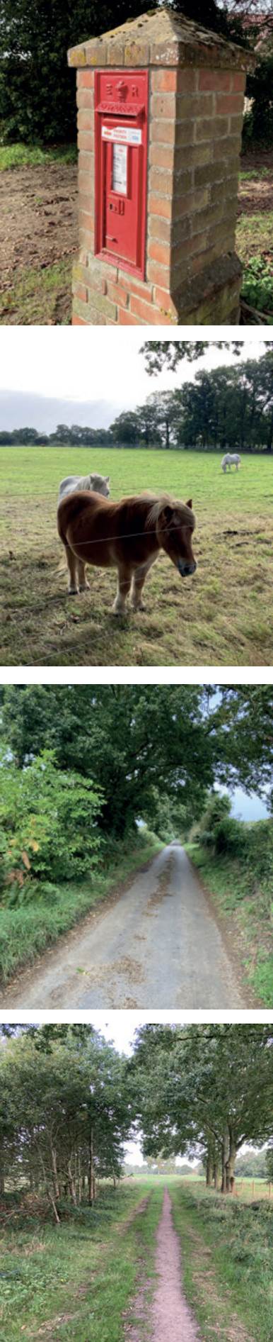
02. Turn right out of the car park onto Carr Lane. When the lane turns right stay straight ahead onto a footpath marked by a yellow FP sign. Follow the path, keeping the hedge on your right. At the end of the path turn right, crossing a ditch where you see cement blocks for stepping on when it’s flooded, into a track on the left with horse paddocks on the right and chicken sheds on the left. Walk along this track until you reach a stainless-steel gate, turn right onto a footpath. You will see the Stoke Holy Cross communication tower slightly towards the right. Walk past a metal road gate and pedestrian wooden gate. Walk along the footpath until you reach Poringland Road. Turn left onto Poringland Road and cross over to the pavement on the other side.
03. At the next left, by the phone box, take Brickle Road signposted to Shotesham All Saints (this stretch of road is part of Boudicca’s Way). After about a mile take the next left turn into Abbot’s Lane. Turn left at the T-junction signposted to Poringland. Turn left into The Grove, then bear right at Somerset Barn. Walk past the chicken sheds on the right. At the junction with the footpath used earlier, turn right onto the path and walk along the horse paddock you passed on the way out. Return to the car park along Carr Lane.
04. With your back to the access road at the car park, take the woodland path on the left into the woods past a sign for the community wood. Keep to the main perimeter path veering left, ignoring any righthand paths. The main path then veers right. Ignore the two footpaths to the left. At the end of the wood, walk along the path with a wooden fence on your right. Pass the same pond on the right as seen at the start of the walk (now hidden behind trees). Walk through the gap in the fence/hedge in front, back onto Victory drive. Retrace your route back over the play park and into the rear of the community centre.
Disclaimer: Although this route was checked prior to publication, readers should check for local changes before they walk and ensure they walk within their capabilities.
REVIEWED BY MARK JOHNSON
VOLUNTEER CO-ORDINATOR AT CENTRAL NORFOLK WELLBEING WALKS
Route by Andy Woodall
Route checked by Mark Johnson
Photography by Mark Johnson