Framingham Pigot

Walk Information
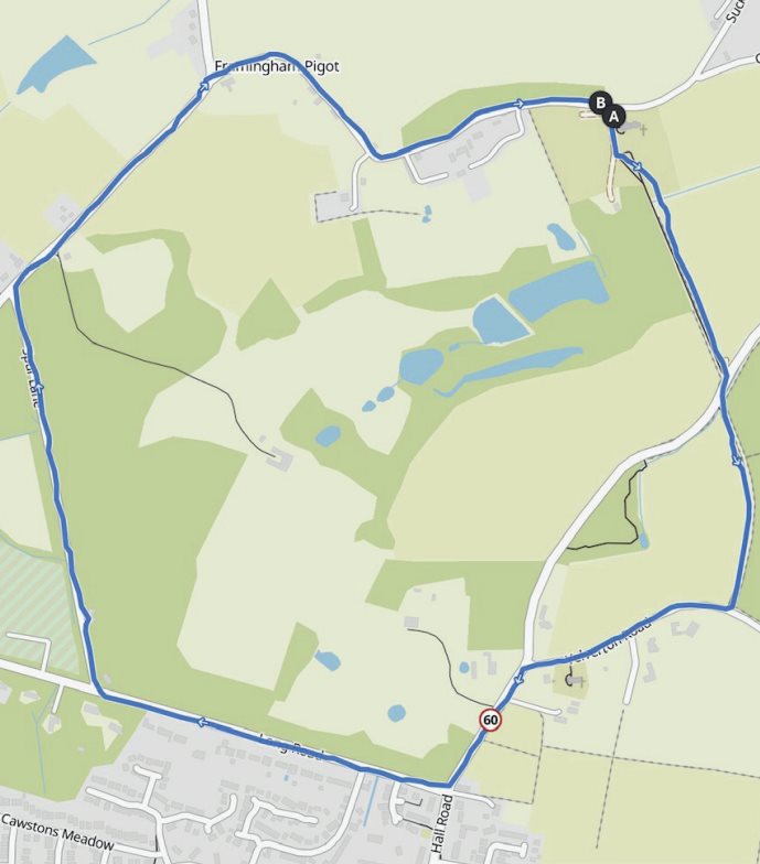
Starting Point: St Andrews Church, The Street, Framingham Pigot, Norwich, NR14 7QH.
Grid Reference: OS Map 237 277036
Walk Length: 2.5 Miles / 4.0 Km
Directions
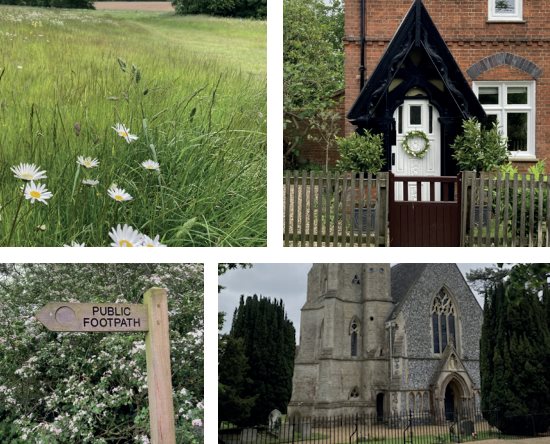
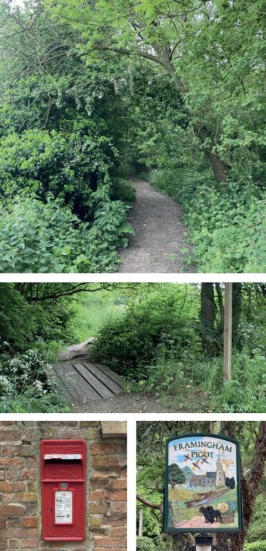
01. Keeping the church on your left, follow the shingle track towards a cottage. Before reaching the cottage, veer left off the track at the wooden finger post and follow the footpath around the trees on the right-hand side into a wood. Note the ditches, old trees and old coppice stools either side of this path, indicating it could be an ancient route.
02. At the end of the woodland path turn right into Gull Lane. After about 50 metres, turn left at the wooden finger post, cross a wooden plank bridge over a ditch and walk up the path with the hedge on your left. At the end of the path turn right onto Yelverton Road. You will pass another St Andrews Church (this time in Framingham Earl) on your left.
03. Turn left at the T-junction into Hall Road, then first right into Long Road. After a short distance, cross the road to the pavement on the left-hand side. Continue past St Anne’s Road, staying on Long Road. Take the first right into Spur Lane, which is beside the only house on the right-hand side of the road. Again, note the old ditches and mature trees beside the road while walking through the plantation.
04. At the T-junction, turn right into Pigot Lane – this short section can be busy, so walk on the right towards oncoming traffic. Take the next right into The Street at the Framingham Pigot village sign. Walk down The Street back to St Andrew’s Church on the right-hand side.
Disclaimer: Although this route was checked prior to publication, readers should check for local changes before they walk and ensure they walk within their capabilities.
REVIEWED BY MARK JOHNSON
VOLUNTEER CO-ORDINATOR AT CENTRAL NORFOLK WELLBEING WALKS
Route by Peter Neave and Rhona Shuttleworth
Route checked by Mark Johnson
Photography by Mark Johnson